
Smart Geospatial Solutions
Advanced Geospatial Surveyors provides expert Land surveying, GIS, and mapping services, leveraging specialized solutions in geomatic engineering.
Get A QuoteNeed Accurate Land Surveying Solutions?
Get precise geospatial data for your next project
Request a Quote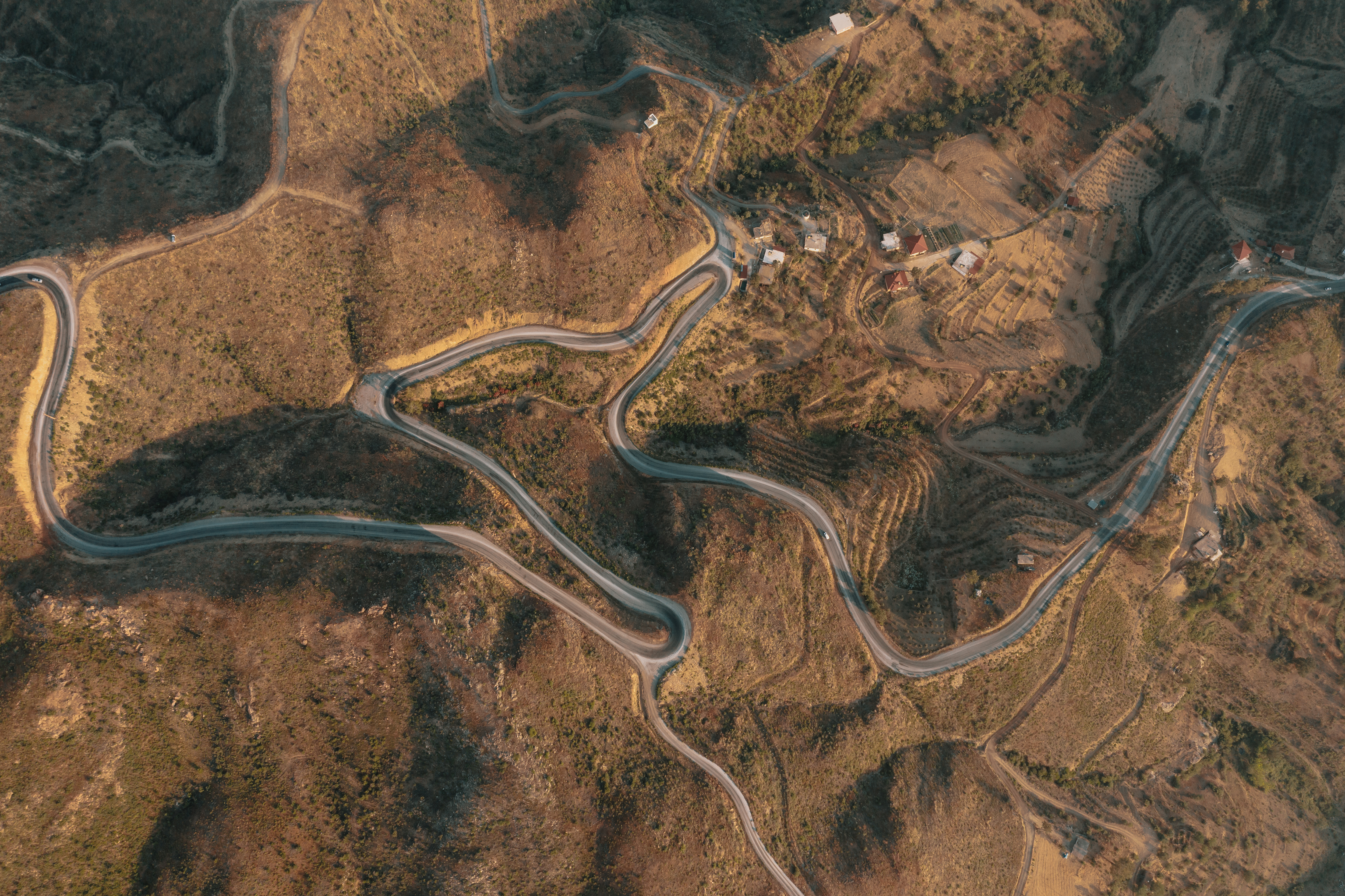
Professional Land Surveying & Geospatial Solutions
Accurate, reliable, and technology-driven mapping services for Zambia's development.
We specialize in delivering high-quality geospatial data to support infrastructure development, mining operations, land management, environmental planning, and engineering projects. Our commitment to precision, innovation, and excellence drives everything we do.
Why Professional Surveys Matter
Land surveying isn't just a formality—it's the foundation of successful projects, legal protection, and informed decision-making

Legal Compliance & Property Rights
Land surveys are legally required for property transactions, subdivisions, and title registration. They establish clear boundaries, prevent disputes, and ensure your property rights are protected under Zambian law.

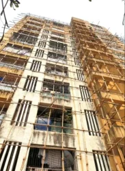
Infrastructure Development
Roads, bridges, utilities, and buildings require accurate topographic data for proper design and construction. Engineering surveys ensure projects are built to specification, on budget, and structurally sound.
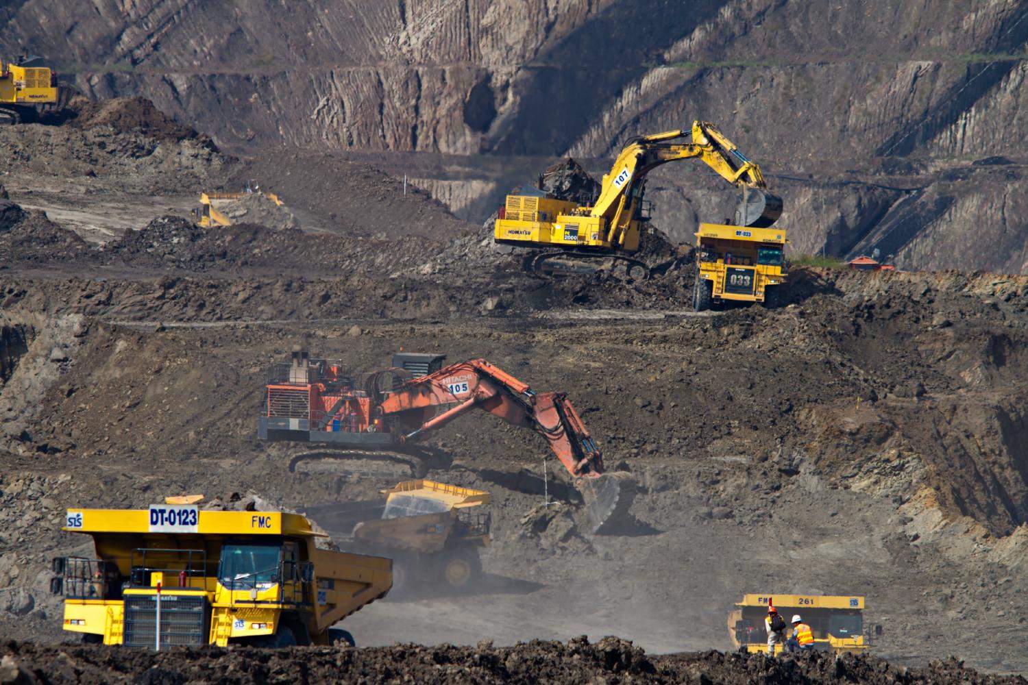
Mining & Resource Management
Mining operations depend on precise surveys for exploration, resource estimation, mine planning, and environmental compliance. Accurate data maximizes extraction efficiency and ensures regulatory adherence.
Risk Mitigation
Surveys identify potential issues before construction begins - unstable terrain, flood zones, encroachments, or easements. Early detection saves costly mistakes and legal complications down the line.

Investment Protection
Whether buying land or developing property, surveys verify what you're actually getting. They confirm boundaries, area measurements, and identify any restrictions or encumbrances on the property.

Environmental Planning
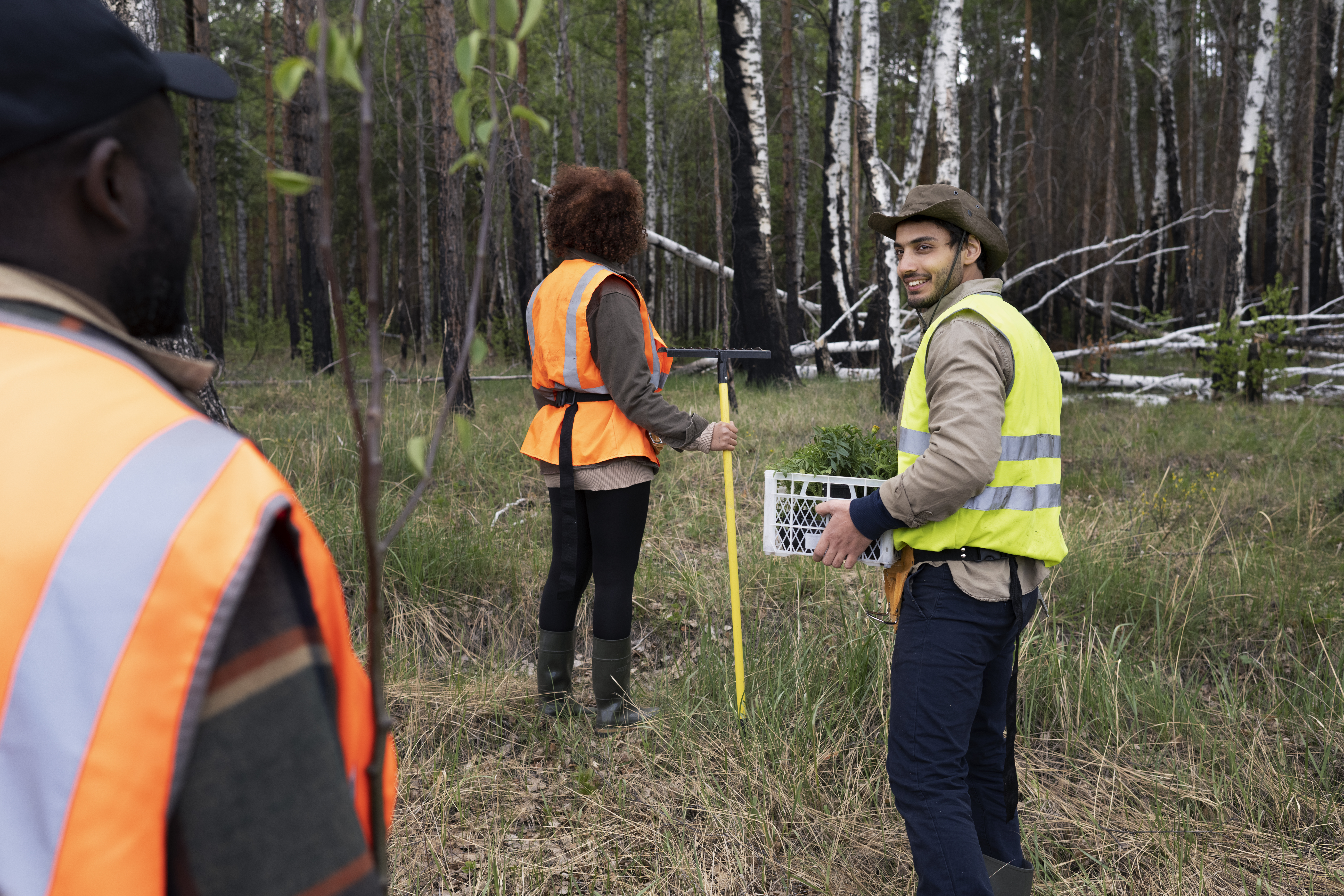
GIS and mapping services support environmental impact assessments, land use planning, and sustainable development. Spatial data helps balance development with conservation goals.
Every Project Starts with Accurate Data
From land purchases to major infrastructure—professional surveying ensures your project is built on solid ground, literally and legally.
Start Your Project Right →Professional Surveying Services
Comprehensive geospatial solutions powered by advanced technology and certified expertise
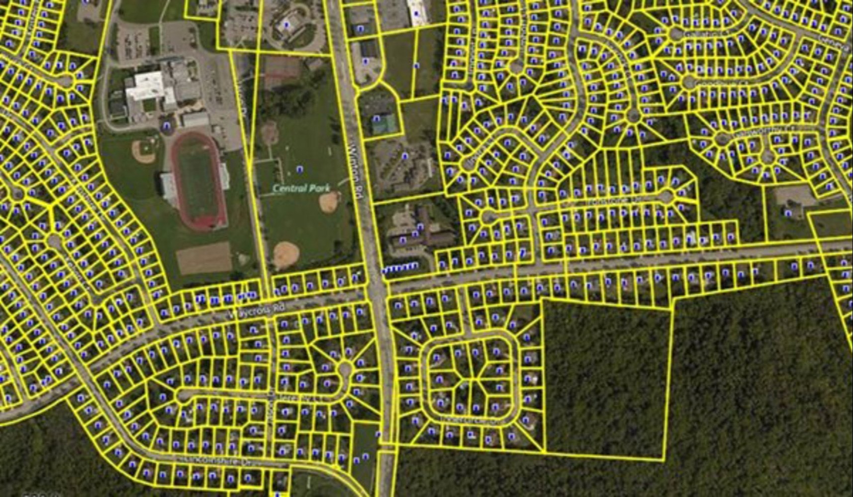
Cadastral Surveys
Professional land subdivision surveys meeting Ministry of Lands requirements. Accurate boundary demarcation and title processing.

Aerial Drone Mapping
High-resolution UAV surveys for topographic mapping, volumetric analysis, and site monitoring.
Engineering Surveys
Construction layout, as-built surveys, and setting out for infrastructure and development projects.
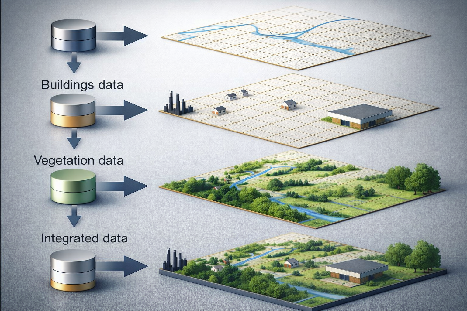
GIS and Mapping
Spatial data management, analysis, and custom mapping solutions for informed decision-making.

Bathymetric Surveys
Underwater terrain mapping for dams, rivers, and water bodies using advanced sonar technology.
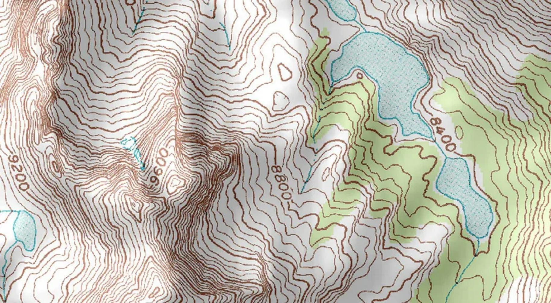
Topographic Surveys
Detailed terrain mapping and contour surveys for engineering design and land development.
Get In Touch
Have a project in mind? Contact us for a consultation.